Heat, Altitude, Monsoon and Snow: Planning Around the Conditions
You can go from 4,600 feet of high desert to 11,000 feet of spruce forest in an hour. Four things that catches people out, in every season.

You can go from 4,600 feet of high desert to 11,000 feet of spruce forest in an hour. Four things that catches people out, in every season.
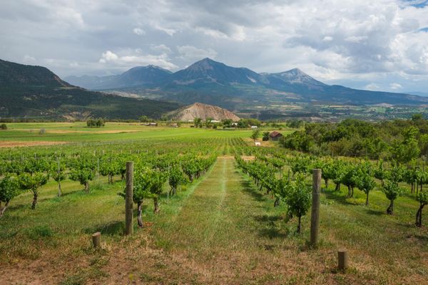
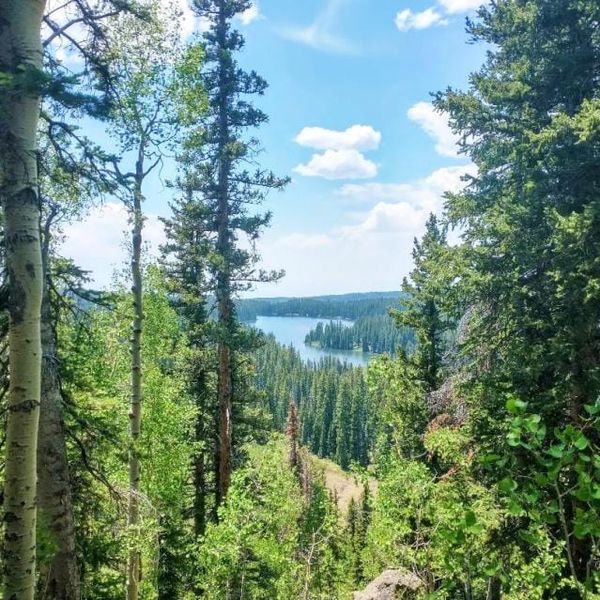
The defining fact about visiting western Colorado is vertical range. Grand Junction sits at about 4,600 feet, lower than Denver, in genuine high desert. An hour's drive puts you at 11,000 feet in subalpine forest. Almost every conditions problem here comes from that gap.
Grand Junction's monthly normals, 1991 to 2020:
| Month | Avg high | Avg low | Precip |
|---|---|---|---|
| January | 38°F | 17°F | 0.58" |
| April | 65°F | 38°F | 0.91" |
| June | 88°F | 56°F | 0.46" |
| July | 93°F | 63°F | 0.61" |
| August | 90°F | 61°F | 0.95" |
| September | 80°F | 52°F | 1.19" |
| October | 66°F | 40°F | 1.06" |
| December | 38°F | 19°F | 0.59" |
Annual precipitation is under 9.5 inches. This is true desert.
Two useful things fall out of that table. June is the driest month, and July through September are the wettest — the opposite of what most people expect, and it is the monsoon signature. And the desert trails are shadeless and waterless, which is why local riding season is spring and fall rather than summer.
The heat also matters for dogs. At an air temperature of 86 degrees, asphalt can reach 135 and burn a dog's paws in about a minute. If you cannot hold the back of your hand on the pavement for seven seconds, it is too hot.
In the valley, altitude illness is essentially a non-issue. The risk is entirely in the day trip.
CDC guidance: any unacclimatized traveler going to a sleeping altitude of 8,000 feet or higher is at risk, and susceptible people can be affected lower. Acute mountain sickness presents like a hangover — headache plus at least one of nausea, dizziness, fatigue or loss of appetite — typically two to twelve hours after arriving.
Wilderness Medical Society guidance advises against ascending to a sleeping altitude of 9,000 feet or more in a single day, and above 9,800 feet, gaining no more than about 1,650 feet per night.
Applied here: the Grand Mesa campgrounds sit at 10,000 feet. Flying into Grand Junction and camping up there the same night exceeds the guidance. Sleep a night in the valley first. It costs you nothing and it is the difference between a good second day and a wasted one.
The National Weather Service office in Grand Junction is direct about this: flash flooding is one of the region's deadliest weather events.
The Southwest Monsoon generally begins around the second week of July and in most years is over by the end of August, though it can run into October.
Two risk factors elevate it sharply. Steep narrow terrain that fills fast. And recently burned areas, where fire creates a hardened water-resistant layer that prevents infiltration and forces water to run overland. That is not abstract here: it is exactly what buried Black Canyon's East Portal Road under six feet of debris in July 2026, on ground burned by the 2025 South Rim Fire.
The NWS guidance, in their words: avoid steep narrow canyons that can fill rapidly with water, and never drive into flooded areas, because two feet of water will carry away most vehicles.
This applies directly to canyon and wash hiking in McInnis Canyons, at Rattlesnake Arches, and in the Black Canyon inner canyon.
Colorado's Traction Law applies on the I-70 mountain corridor between Dotsero and Morrison every year from September 1 through May 31 — not only during storms, and not only when it is snowing. Dotsero is just east of Glenwood Springs, so this covers the entire I-70 approach from Denver.
To comply you need all-wheel or four-wheel drive with all-weather, mud-and-snow, or winter tires at a minimum 3/16-inch tread depth, or chains or an approved alternative traction device on two or more drive tires. The updated law emphasizes tire condition and type regardless of drivetrain, so an AWD rental on bald all-seasons is not automatically compliant.
The Chain Law is the escalation above that, and the last step before closure: every vehicle must carry chains or an approved alternative.
Fines are worth checking rather than quoting — CDOT's own pages currently give conflicting figures.
Live conditions for all of it: COtrip.org.
Checked September 2026 by Western Slope Trellis. Weather guidance is general; road status changes hourly. Check COtrip before you drive.